Technology
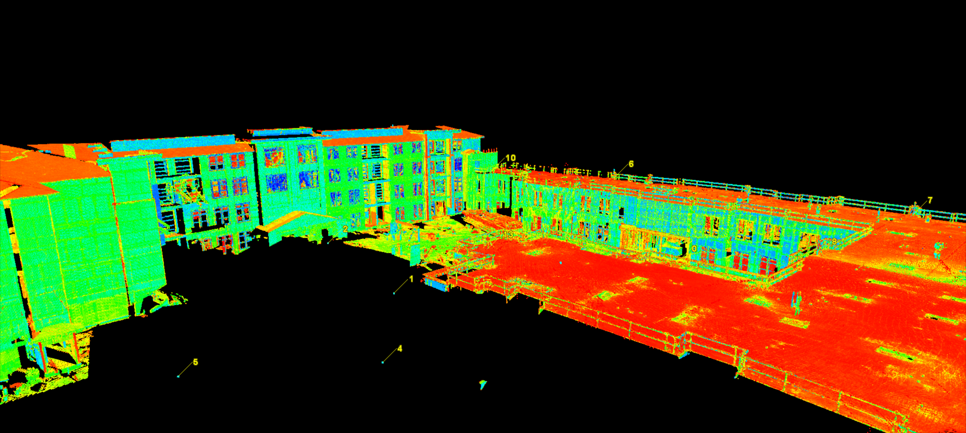
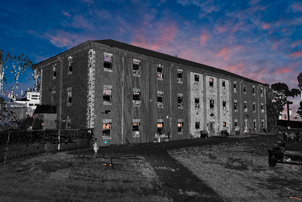
Drone/UAV Imaging
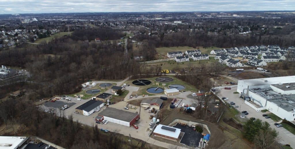
Carroll Engineering’s departments have been utilizing the drone’s ability to capture aerial views of clients’ projects from start to finish, allowing them to pre-plan initiatives, enabling accurate site mapping, and offering real-time video captures for hard-to-see areas using accuracy and speed. Our licensed drone pilots use their experience to remotely navigate the unmanned aerial vehicle (UAV), as it collects aerial data through its pivotal imagery sensors. For instance, when used in a drone survey, a client can request measurements at certain distances and in other specified volumetric distances. Project managers benefit from utilizing the drone information for day-to-day project updates, staying informed to mitigate any project delays.